
Ohio Street Address to Parcel
An Ohio street directory search is strongest when it begins with the physical address and keeps each record's role clear. First establish which county in Ohio holds the land record. The county Auditor or Fiscal Officer maps the situs, meaning the parcel's physical location, to a tax parcel. County GIS in Ohio shows shape and nearby parcels. The Recorder in that Ohio county supplies filed instruments, while voter and directory sources can add dated household clues. No single Ohio office holds a complete roster of people who live on every street.
- Identify the Ohio county and exact street line; postal city and ZIP help route an Ohio search but do not set legal boundaries.
- Search the Ohio county Auditor by address or owner, then save the parcel number, situs, legal description, and transfer clues.
- Open that parcel in the Ohio county GIS viewer and note frontage, map date, subdivision, and visible boundary layers.
- Use the Auditor's owner name or parcel details to find the recorded deed in that Ohio county's Recorder index.
- Check Ohio voter lookup only for a known person; registration and precinct evidence is date-specific, not an occupancy list.
- For older Ohio occupants, check an Ohio library or historical society's street or reverse directories and compare each entry with its printed year.
Keep Ohio parcel, title, voter, and occupant findings in separate fields. In Ohio, a tax owner can be a trust, estate, or company, and the mail-to address can be elsewhere. An Ohio street directory can organize those clues by address, but it cannot turn an owner name into proof that the owner sleeps at that location.
Ohio Auditor Fields by Address
Ohio has no single statewide owner-name property search: an Ohio county Auditor or Fiscal Officer is the first parcel route. Franklin County is one inspected Ohio county example, not the statewide model. Its Auditor property search supports owner-name and address searches. An Ohio tax card may carry several addresses and names, so copy the label that appears beside each value instead of merging them into one “resident” field.
| Franklin County card field | What it identifies | How to read it |
|---|---|---|
| Permanent parcel number | Tax parcel identifier | May change after a split, merge, or replat. |
| Owner / taxpayer name | Party recorded for tax purposes | May be a trust, LLC, estate, or other entity. |
| Situs / property address | Physical parcel location | Use this for map and street matching. |
| Mailing address | Where tax notices go, if shown | Can differ from the situs and may be outside Ohio. |
| Legal description / lot | Subdivision, lot, and map reference | Useful when older deeds lack the current parcel number. |
| Value and tax districts | Assessment and assigned districts | Not a record of who occupies the parcel. |
| Transfer or sale details | Recorded assessment history, where shown | Confirm a transaction in the Recorder's instrument. |
| Sketch, photo, or map link | Property-card context, where published | Visual detail does not establish title or occupancy. |
The Franklin County Auditor search is the source for that county's card fields; fields and search choices vary among Ohio counties. An Ohio parcel card can include building and map details, but an appraisal record is not title proof. For a street with many parcels, retain one row per parcel and keep situs and mailing address in different columns.
Franklin GIS Parcel Modes
The Franklin County, Ohio Parcel Viewer manual documents concrete map controls that make an address search reproducible. Its functions are Franklin County capabilities and should not be promised for other Ohio counties. An Ohio user can locate a parcel, inspect surrounding geometry, and return selected map features. The county describes its GIS as compiled from public sources, so the mapped result should be checked against the primary Auditor or Recorder record.
| Control or field | Use in Franklin County | Scope note |
|---|---|---|
| Search Parcel Data | Opens parcel search | Viewer tab/tool name in the manual. |
| By Value | Choose a layer, field, and value; examples include parcel ID, subdivision/condominium, annexations, and special tax districts | Dropdown options depend on layer. |
| By Shape | Draw an area and return records inside it | Map selection, not a legal boundary decision. |
| By Spatial | Set a distance after locating a parcel, then Apply Buffer | Distance units should be read on the live map. |
| Select inside / intersecting | Choose parcels fully inside or partly crossing the buffer | Two different selection rules. |
| Results | Review selected features; the three-dot menu can export CSV and clear results | Export reflects the current map selection. |
| Identify | Point, line, or polygon selection returns records and a detailed-property-search link | More than one record may be returned. |
| Layer List | Toggle road centerlines, parcel labels, administrative areas, and other layers | Visibility can depend on zoom. |
For the Ohio street directory workflow, save the date, selected layer, and search mode beside the parcel results. The complete live dropdown list and every required-field rule were not exposed in the manual, so a reader should confirm the current on-screen choices before relying on an Ohio filter.
Use the Franklin County Parcel Viewer and its official user manual as Franklin County, Ohio examples. The manual is unusually helpful because it names the buffer, selection, export, Identify, and layer controls rather than simply showing an Ohio map.
Ohio Street Deed Chain
Ohio county property research moves from the Auditor to the Recorder. An Ohio deed search is normally keyed by grantor and grantee, the seller and buyer named in a filed instrument, not by a simple “who lives here” box. Use the parcel's Ohio legal description and the current tax owner's exact name to find the latest deed. Then read its prior-instrument reference and follow the named grantor back. Check spouse names, trusts, estates, and business suffixes when an Ohio name or parcel clue changes.
The screenshot below shows the Franklin County Recorder's official-records search interface in Ohio. Open the Franklin County Recorder portal for the live county search and current service information.
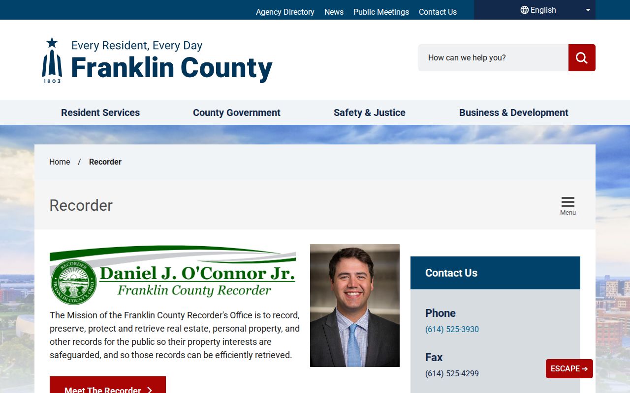
The image is a Franklin County example of an Ohio county index, not a statewide Ohio deed database. A deed can name parties to a transaction without identifying the people who occupied the address.
Recorder portals and paper indexes in Ohio differ in search years and fields. No statewide source established when online indexing began, and image or certified-copy charges must be checked with the county. If a county portal lacks older material, use its counter index or written copy route rather than treating a blank screen as proof that no deed exists.
Ohio Street Record Coverage
An Ohio street can touch records kept for different purposes and by different offices. This coverage table separates the person field from the question each source answers. It also shows why “owner,” “registered voter,” “permit applicant,” and “past occupant” cannot be treated as the same role.
| Address-keyed record | Person field | What it can establish | Access route |
|---|---|---|---|
| Ohio Auditor / Fiscal Officer | Tax owner, situs, mailing address | Parcel and tax record, not occupancy | Ohio county search, map, counter, phone, or data request |
| Ohio county GIS | Parcel geometry and map labels | Spatial relation, not title or residence | Ohio county viewer; some support buffer and export |
| Ohio Recorder | Grantor, grantee, legal instrument | Recorded transfer or other instrument | Ohio county index, image, terminal, counter, or copy request |
| Ohio city permits / code | Applicant, contractor, owner/contact | Work or enforcement clue, not necessarily a household member | Ohio city portal or municipal records request |
| Voter lookup / file | Known registered elector and precinct | Registration at a point in time | Ohio lookup or county Board of Elections |
| Ohio street / reverse directory | Published address occupant | Historical snapshot with gaps and house-style conventions | Ohio library, OGS finding aid, microfilm, or catalog |
| Ohio census evidence | Household at an enumeration date | Dated household evidence within released schedules | National Archives, FamilySearch, or library access |
| Ohio plat / historic map | Usually no reliable resident field | Building, lot, street, or land-use context | Ohio library, archive, or map collection |
Ohio does not have one statewide record that replaces this chain. The Auditor is the Ohio starting place for the current parcel; the Recorder is the source for Ohio title instruments. The other rows add context only where the Ohio county, city, library, and time period have material.
Ohio Street Voter Checks
The Ohio Secretary of State's Ohio Voter Lookup is an individual status and precinct tool. Its live Ohio fields should be checked at the time of use; research found county, last name, first name, conditional date-of-birth or voter-identification confirmation, and search controls, but some details were not exposed in a stable crawl. The Ohio result may show status, precinct, polling context, or voting history. It is not a promise that the Ohio public form lets someone browse every voter along a street.
Ohio's voter files are public subject to exclusions in ORC §3503.13. Full or partial Social Security numbers, driver's-license or state-ID numbers, phone and email fields, confidential voter records, and protected addresses are excluded. An Ohio registration entry means a person was registered for the record's date and precinct; it does not prove daily presence at the address. Ohio Boards of Elections handle corrections and specific record requests.
For Ohio street-level civic research, use only the minimum public result needed to check a known name or understand a precinct. A broad Ohio voter-file request is a separate route with its own snapshot, fields, cost, delivery terms, and redactions. Ask the relevant county Board of Elections which fields and date range are available before treating any file as a current block list.
Note: Ohio registration data can confirm a dated public record, but it cannot supply a complete or current occupant list for a street.
Ohio Street Permits and Code
Ohio permits and code cases add a work history to a parcel. Ohio cities and townships set up their own permit and code channels, so a statewide street search is not available. Start with the local Ohio building or code office for the property's municipality and ask whether an address search, parcel search, counter terminal, or public-records request is the right route. The applicant or contractor named on an Ohio permit is a clue about work, not proof of who lived in the building.
An Ohio street can pass through more than one municipal jurisdiction. Search the exact address first, then try its parcel identifier and any known alternate Ohio street spelling. Keep a permit date, permit type, applicant, contractor, and project location distinct. When a local Ohio web page returns nothing, ask the city clerk or records custodian for the permit series and date span rather than searching an adjacent town's portal.
Ohio's public-record request law, ORC §149.43, applies to public offices, though exemptions still matter. An Ohio request may be oral; a written note can make the office, record series, date range, address, parcel, and requested format clear. For a large Ohio copy request, ask for an estimate. If records are withheld, ask for the legal basis and any segregable non-exempt portion. The Ohio Attorney General's Sunshine Laws Manual explains exceptions, redactions, and request options.
Ohio Street Directory Clues
Ohio historical street volumes can add occupants where current parcel records cannot. The Ohio Genealogical Society inventory distinguishes some street or suburban editions from city directories and lists runs with missing years. A surname-only search can miss a volume organized by address. The Ohio catalog is a finding aid, not a claim that every edition is digitized or complete; ask the holding library about street sections, microfilm, and on-site access.
For Ohio research, record the printed city name, street spelling, house number, directory year, and any occupation or household notation exactly as printed. A volume captures a publication or canvass period, not every move during the year. Compare it with census schedules, newspapers, or other dated evidence before calling an address a household. The Ohio record timeline also matters: directory runs, local indexes, and scanned books began on different schedules across counties.
For editions, publishers, and library shelves, continue to the Ohio Directory Book page. A modern street directory owns the present address chain; older volumes belong to the distinct historical-collection trail.
Ohio Street Boundary Clues
Ohio has 88 counties, and each keeps its own Auditor and Recorder systems. An Ohio road can cross city, township, county, school, tax, ward, or precinct lines. The postal city shown by USPS and the ZIP that routes delivery can differ from a legal municipality. Use the location printed by each source rather than treating those labels as interchangeable.
County GIS themes in Ohio may show road centerlines, parcel lines, subdivisions, ZIP, school, or tax areas, but the exact layers and refresh dates vary. Franklin County's map materials include ZIP boundaries; that is a documented county example, not a guarantee that every county GIS map exposes the same theme. For a street search, compare jurisdiction layers with the Auditor card and the relevant city source before routing a request.
When a property is near a county or city line, first identify the county where the parcel sits, then confirm which municipality maintains permits and code records. Historical directories can use a former township or village label after boundaries change. County organization dates and surviving record books differ across Ohio, so a modern county name is not enough to infer where an older instrument was filed. Check the USPS address lookup for delivery labels, then use the county record to confirm the legal location.
Note: Ohio ZIP and mailing-city labels help find an address, while GIS and legal records determine the county and municipality to contact.
Ohio Address Search Gaps
A missing Ohio search result has several plausible causes. An old Ohio street may have a former number or spelling; an address can be a rear unit or rural route; and a parcel number may have changed after a split or merge. The historical deed may use a lot, subdivision, township, or metes-and-bounds description rather than the modern parcel ID. Preserve every variant and compare it with an Ohio period map or plat.
Online indexes maintained by Ohio counties do not share one statewide start date. Older records may be on a counter terminal, paper index, book and page, microfilm, or a transferred archive collection. The Ohio county Recorder can explain its instrument search and copy options. The county Auditor may offer a counter, phone, map, or data request. An Ohio public office can also respond through the public-records request process; no request needs to include a personal explanation unless a law gives that requirement.
Ohio History Connection's State Archives research page and the county records commission can help identify retention schedules and transferred local-government records. Retention does not make every older record searchable online. If a custodian cannot find a book or index, ask whether the series was transferred, lawfully destroyed under a schedule, or indexed under another county or name form.
Ohio Street Directory for Heirs
An Ohio property trail can help an heir research an address without claiming that each owner was an occupant. Start from the current parcel, then use the deed chain to identify past owners and estate transfers. Ohio Probate Courts keep county-specific estate and guardianship records; an estate file may explain who handled property, while a street directory or obituary can supply a separate household clue. Keep each source's date and role attached to the name.
For Ohio family history, use the Recorder to verify the legal transfer, Probate Court for estate material, and a library's street directories or newspaper archive for dated residents. These are distinct records. A seller, grantee, executor, or tax contact may not be the person who lived in the house. The street directory angle is useful because it ties a search to one parcel and one time range, not because it produces a single definitive family roster.
Ohio's county-by-county system also helps set limits: if a parcel crosses no county boundary, the land record stays with its county custodian, while family records may lead to another county where a person lived or died. Confirm county and date before extending the search.
What Ohio Street Records Omit
Ohio's public property chain does not disclose every household member or establish current occupancy. An Ohio tax mailing address can point to another residence, a business, an attorney, a trustee, or a tax service. A deed's parties describe a transaction; an Ohio GIS map describes parcel geometry; a voter lookup describes a registration record. Respect the limits shown by each custodian, including redactions and records that are sealed or protected.
ORC §149.45 lets qualifying designated public service workers request protection of certain personal information and home addresses. Ohio's Safe at Home program provides a substitute address and mail forwarding for eligible participants; enrollment and eligibility are handled through the Ohio Secretary of State, not through an ordinary web search. The exact protected information depends on the law and the custodian's records.
- Parcel
- A mapped tax unit; its number can change after a split, merge, or replat.
- Situs address
- The physical location attached to a parcel, distinct from the tax mailing address.
- Plat
- A recorded map that lays out lots, streets, easements, or subdivision boundaries.
- Criss-cross directory
- A historical directory arranged by street and address as well as, or instead of, surname.
Lawful use. Use Ohio public records for lawful personal, family-history, estate, or civic research. Do not use a street search to follow, threaten, expose, or harass someone, and do not try to defeat a protected-address program.
Note: A protected or redacted Ohio record is a limit to respect, not a reason to seek the same address through another source.